
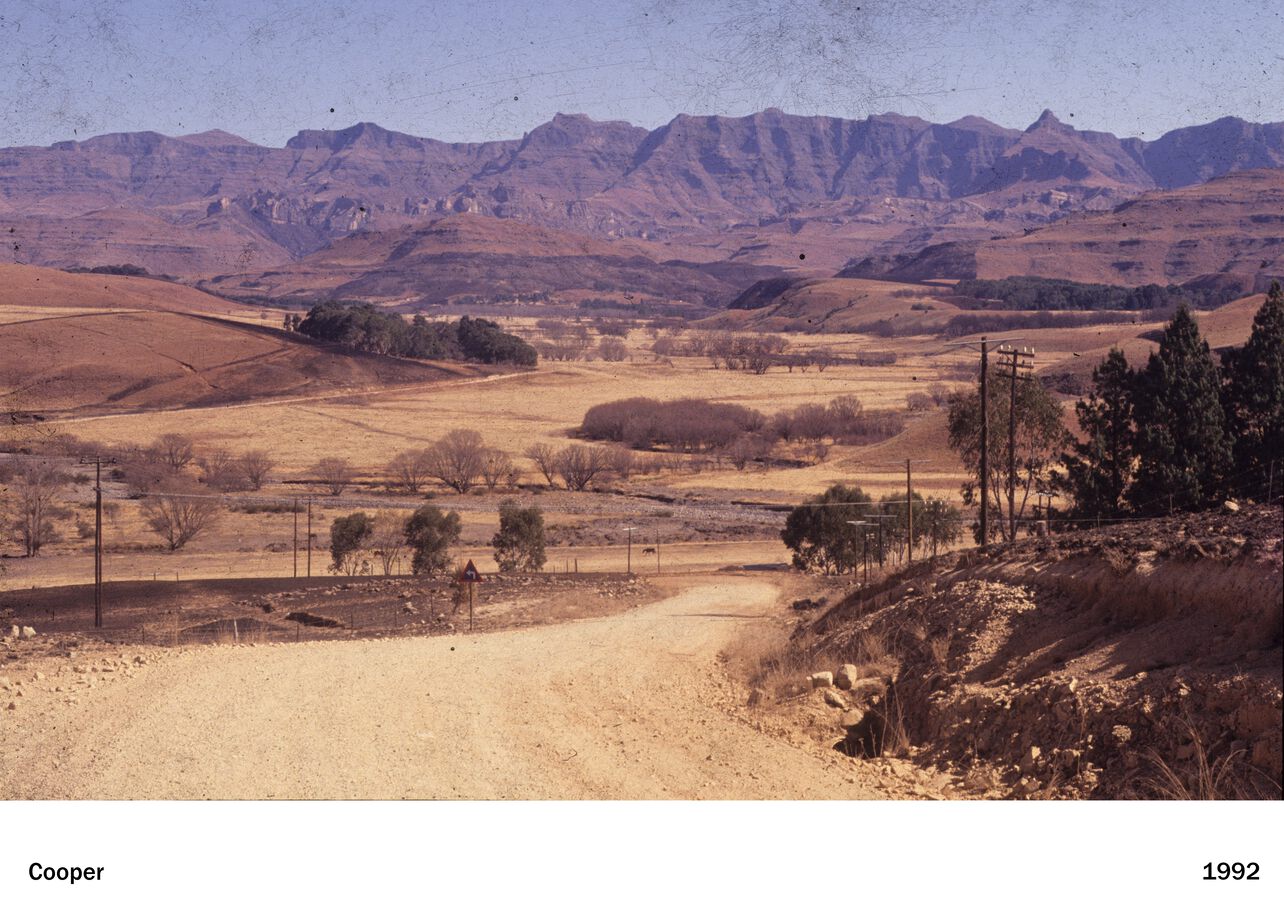
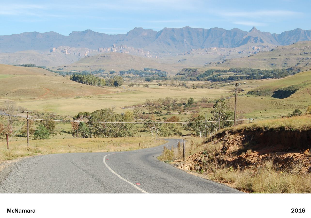
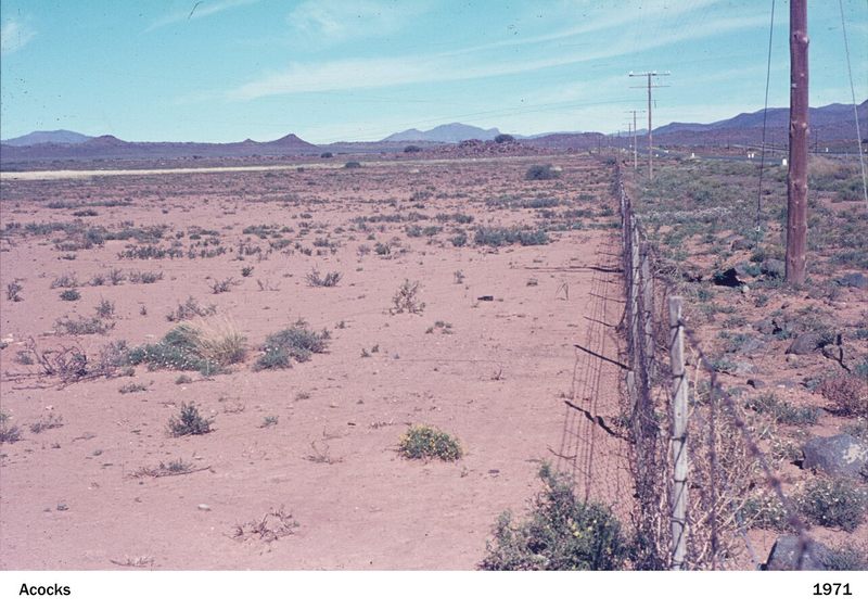
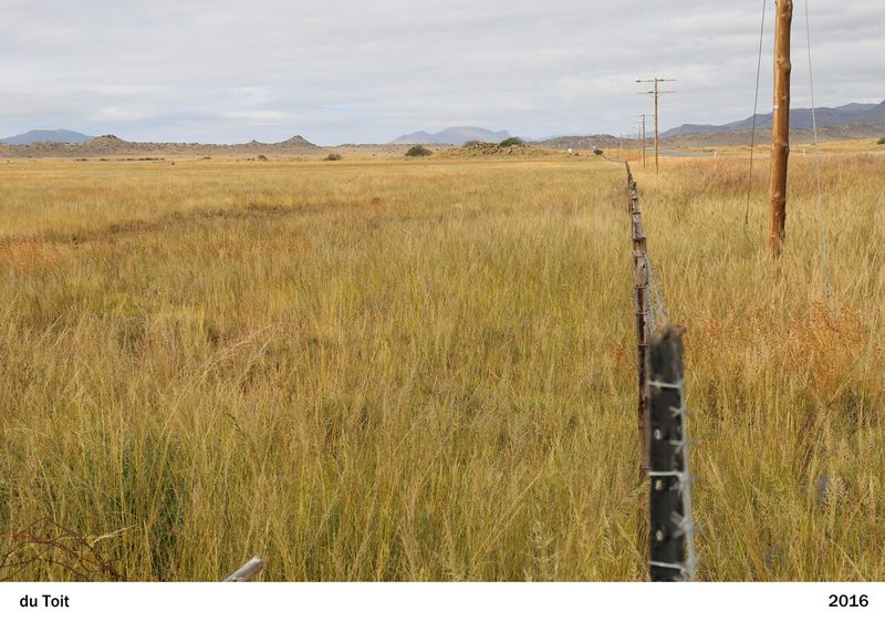
Explore Changes
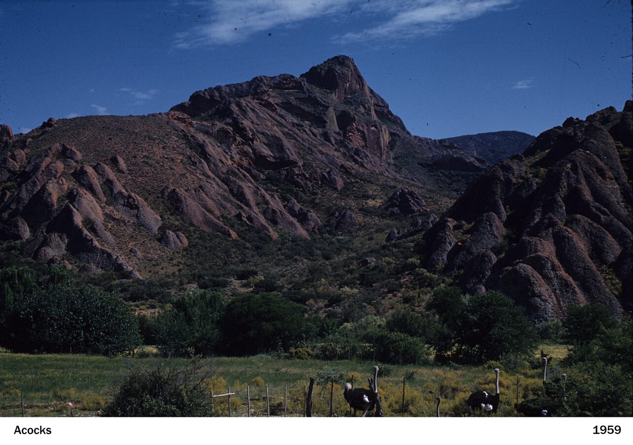
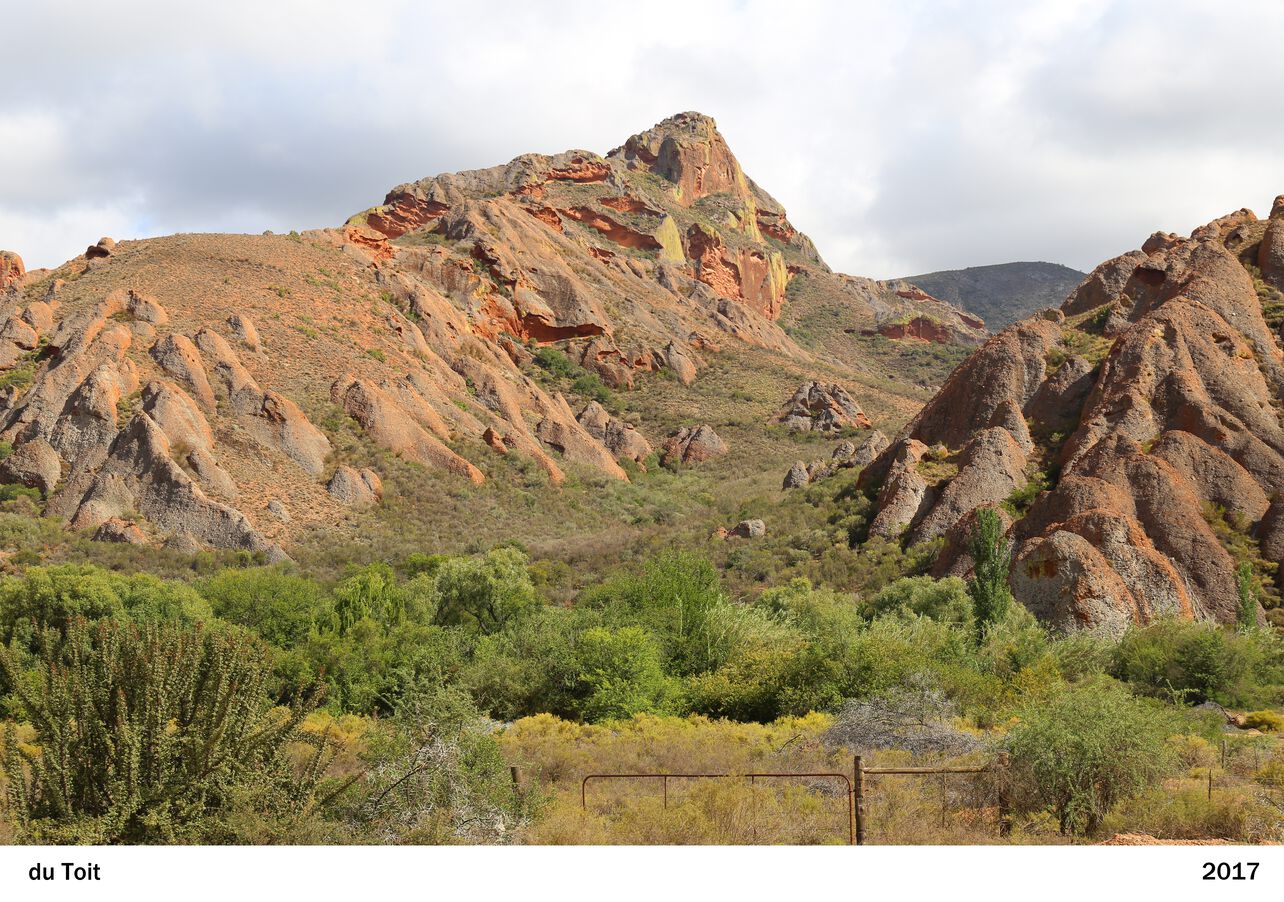
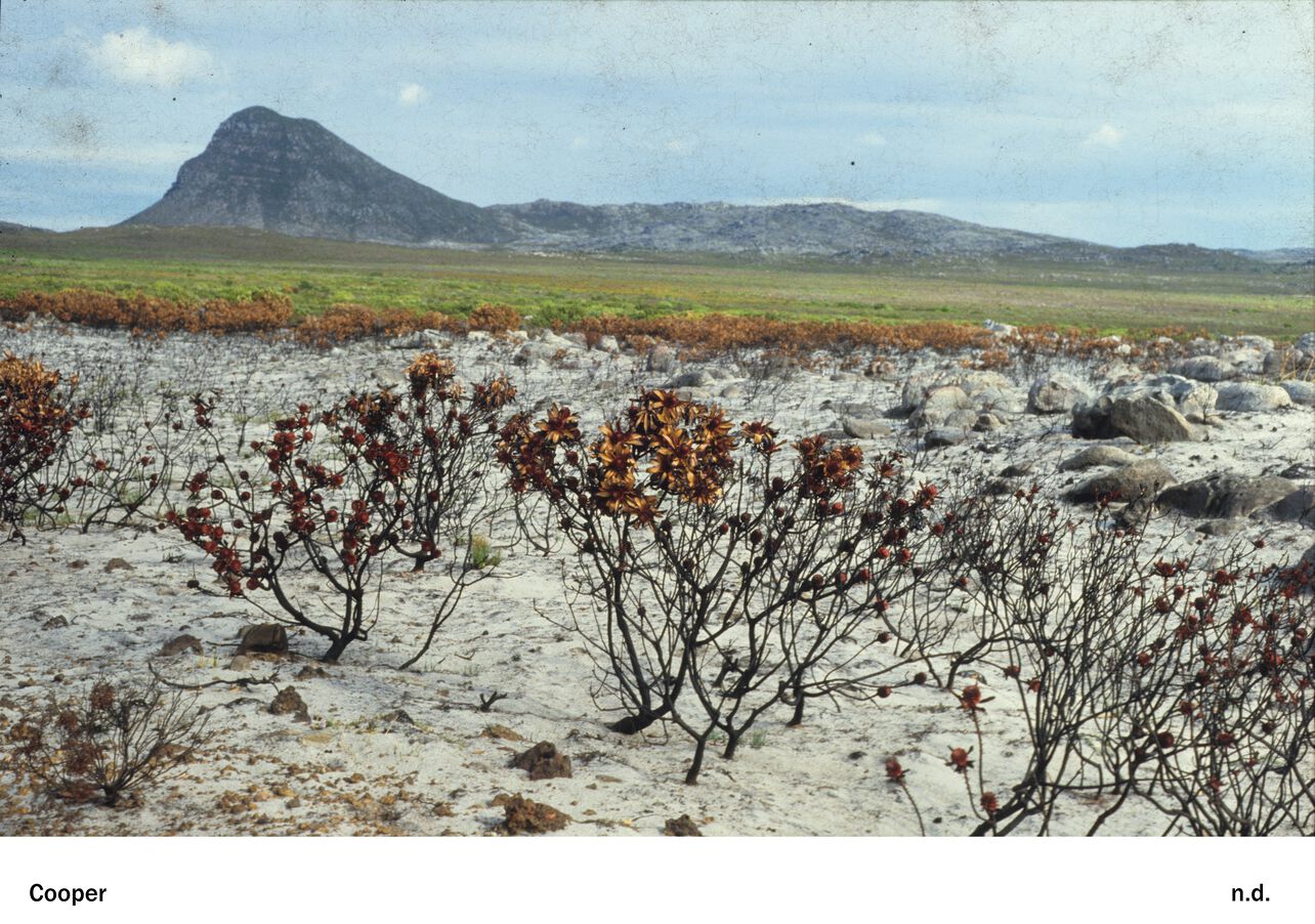
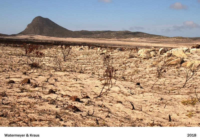
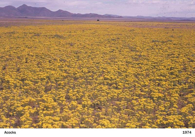
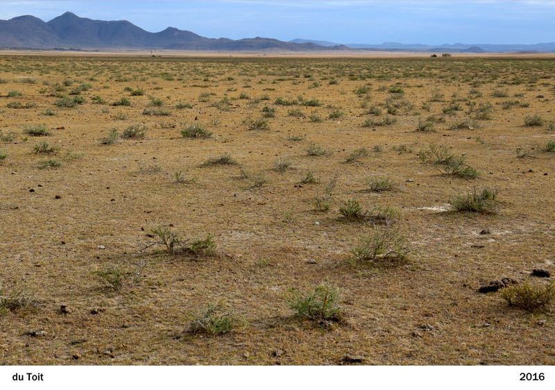
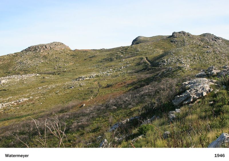
See the past and present meet in a single frame. Each pair of images reveals how the landscape has changed over the decades, highlighting shifts in major terrain features and vegetation driven by climate and land use. Use the slider below the image, moving it left or right, to compare the two views. You can also click on the image to learn more about these changes.
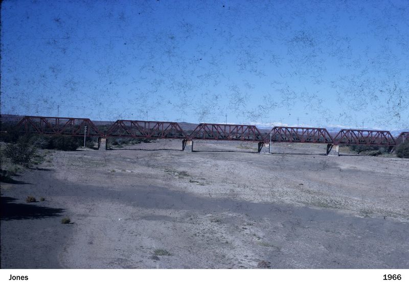
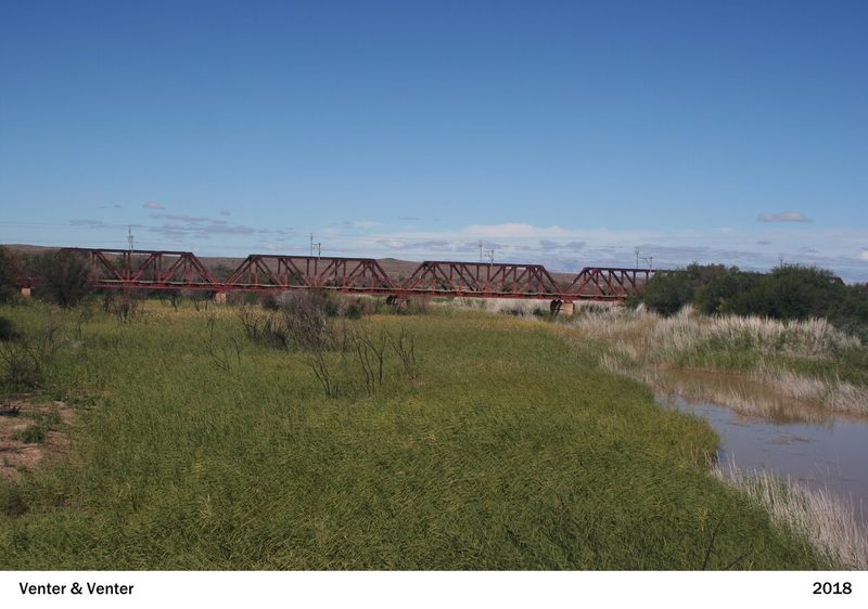
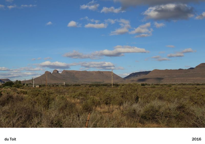
Leeu Gamka River

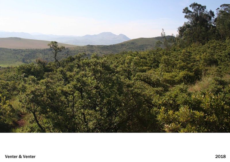
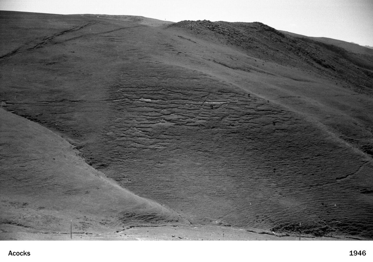
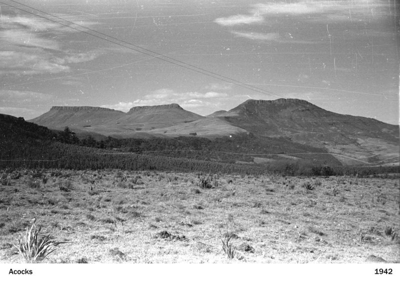
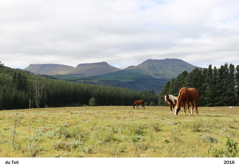
East Griqualand near Kokstad, Mt Currie
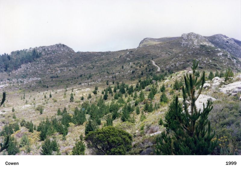
Valley below Noordhoek lookout, Silvermine
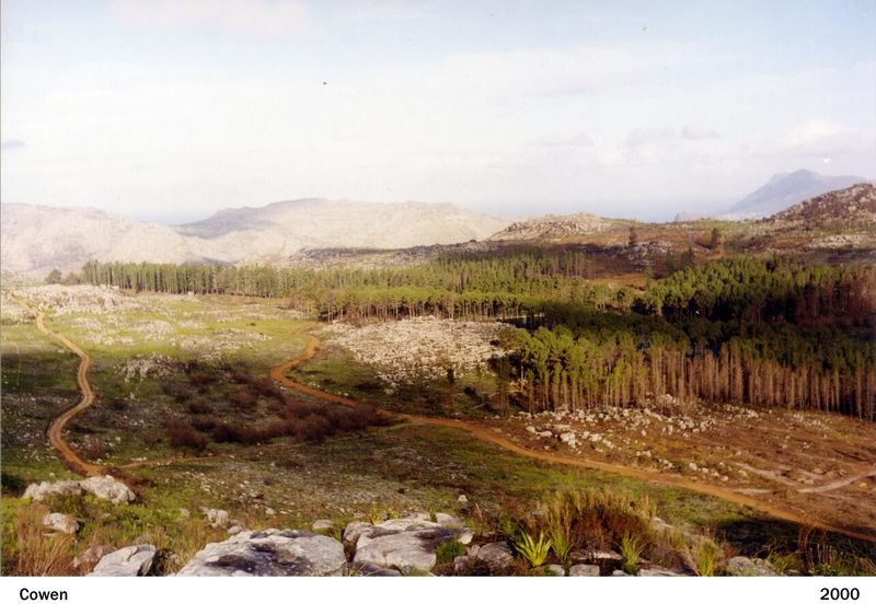
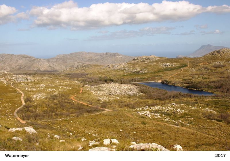
Silvermine near reservoir (before pines felled)


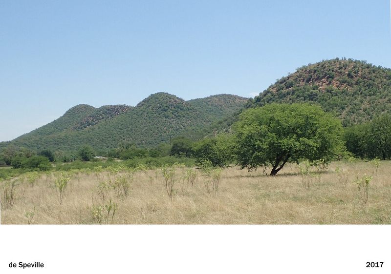
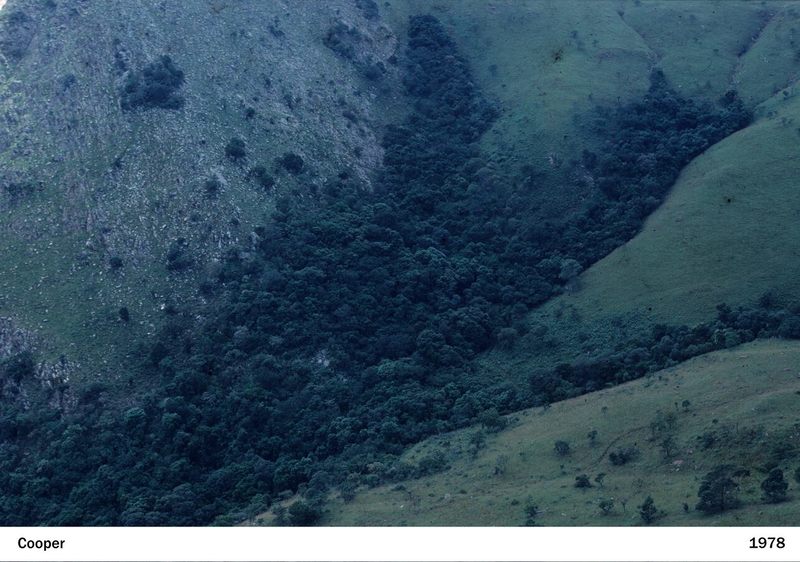
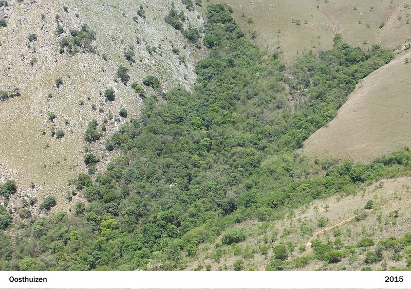
Thorn 'Acacia horrida', 'Zizyphus mucronata' at Venterskroon
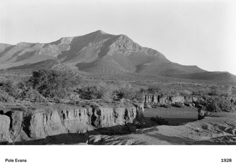
Asvogelberg, Willowmore