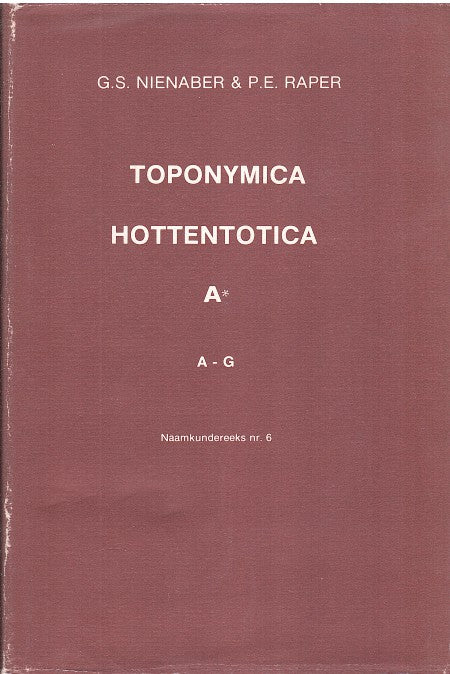
Cango, De
About this item
Identifier
399_SKCPN
Title
Cango, De
Alternative Title
Cango, De
Georeference Sources
K 3322 AD
Is Part Of
longitude
22.375
latitude
-33.375
Measurement Accuracy
12.5 km radius
Source
eng
Topo Cadastral Card 1969 Skin 3322 Oudtshoorn. 'De Cango No Geo. Q. 3A 17 'Place in the Dist. Oudtshoorn north of town, at the upper of the Grobbelaars River and south-easterly of the Cango Caves. The statement as at Kango 3322.
afr
Topo-kadastrale kaart 1969 vel 3322 Oudtshoorn. 'De Cango nr Geo. Q. 3A- 17' plaas in die dist. Oudtshoorn ten noorde van dorp, aan die bolope van die Grobbelaarsrivier en suidoostelik van die Kangogrotte. Die verklaring soos by KANGO 3322.
page start
271


